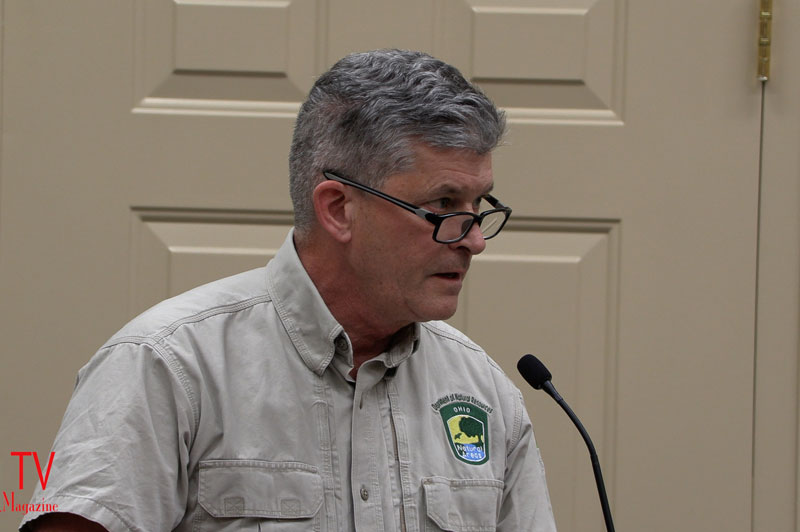
Aaron Rourke, the Assistant Regional Scenic Rivers Program Manager of the Division of Natural Areas & Preserve said, “The goose that laid the golden egg here, is the State and National Scenic Little Miami River.”
This story was up-dated at 6:15 AM on December 6 to reflect that the vote the Commission took during the meeting was to move forward with the SPD process by holding a formal Public Meeting on the plan at an as yet to be determined future date.
Loveland, Ohio – Richard Fisher spoke first and apparently had the wrong impression after hearing the Chairman of the Planning and Zoning Commission, Mark Redmond’s opening remarks. Fisher said, “I know you are not approving anything” tonight.
During the Open Forum Fisher added that he hopes down the line, wherever this goes, that people keep in mind that we just went through a “pretty big game changing election” in which people said that we want elected officials to listen to us.
However at the end of nearly one hour and 15 minutes of discussion and hearing from the public, the commission determined that the Schildmeyer proposal met all the conditions required to re-zone their property into a Special Planing District which would remove all current and existing zoning regulations by creating a new zoning map with its own set of regulations.
Redmond, Andy Bateman, and David Parker voted that the proposal met the requirements of establishing a Special Planing District. Rob Weisgerber voted that it did not. Member Brian O’Neill was absent from the meeting.
The vote was to move forward with the SPD process by holding a formal Public Meeting on the plan at a yet to be determined future date.
No one from the public spoke in favor of the plan moving forward. Terry Schildmeyer, representing the family and Douglas Hinger with Traditions Building and Development Group testified in favor of their plan.
Speaking about the importance of protecting the State and National Scenic Little Miami River, Aaron Rourke, the Assistant Regional Scenic Rivers Program Manager of the Division of Natural Areas & Preserve said, “The goose that laid the golden egg here, is the State and National Scenic Little Miami River.”
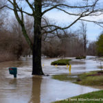
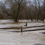
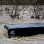
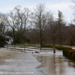
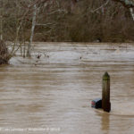
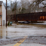
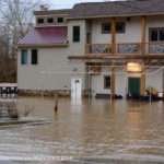
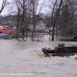
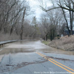
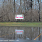
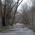
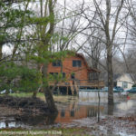
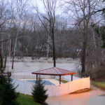
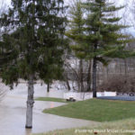
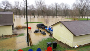
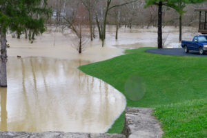
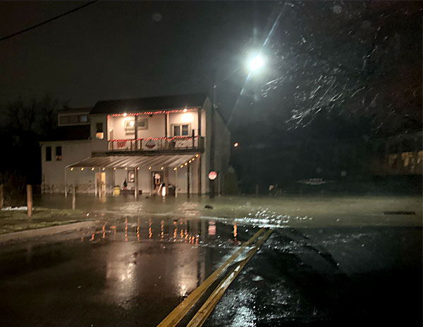
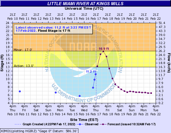
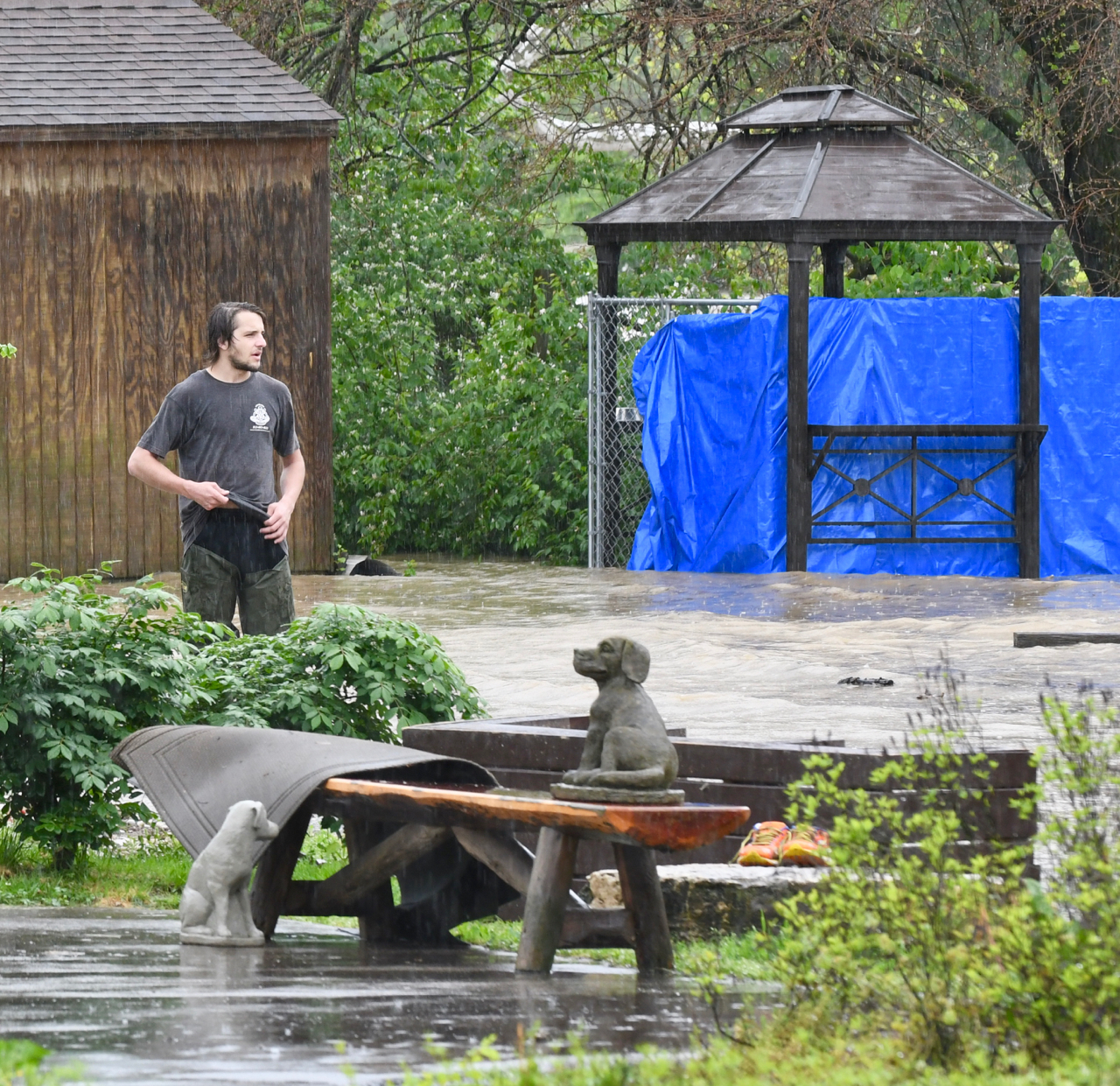
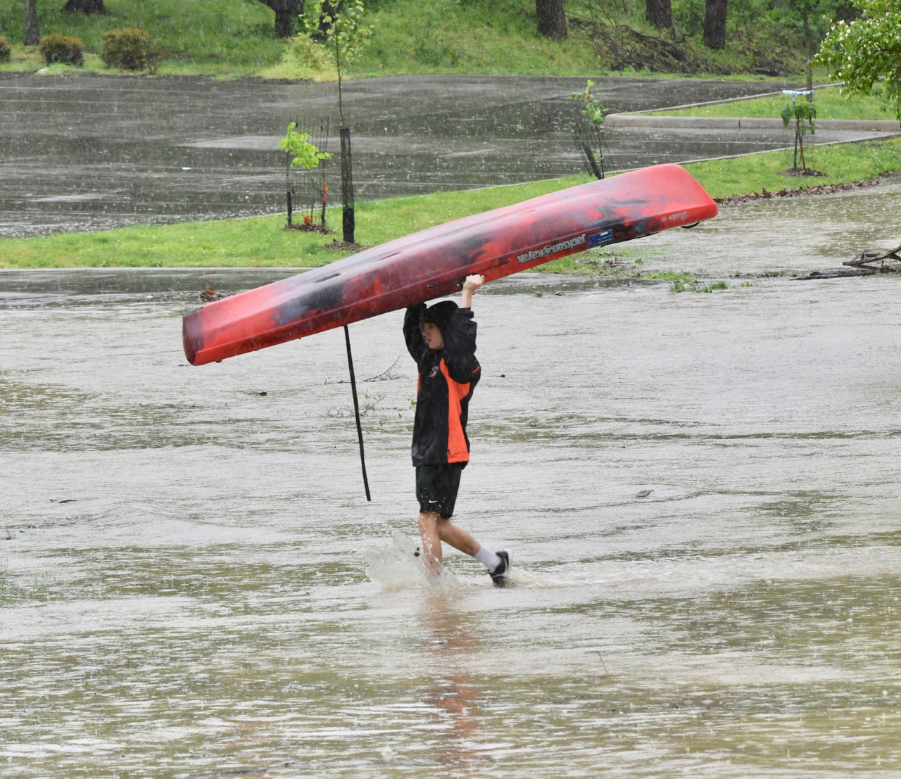
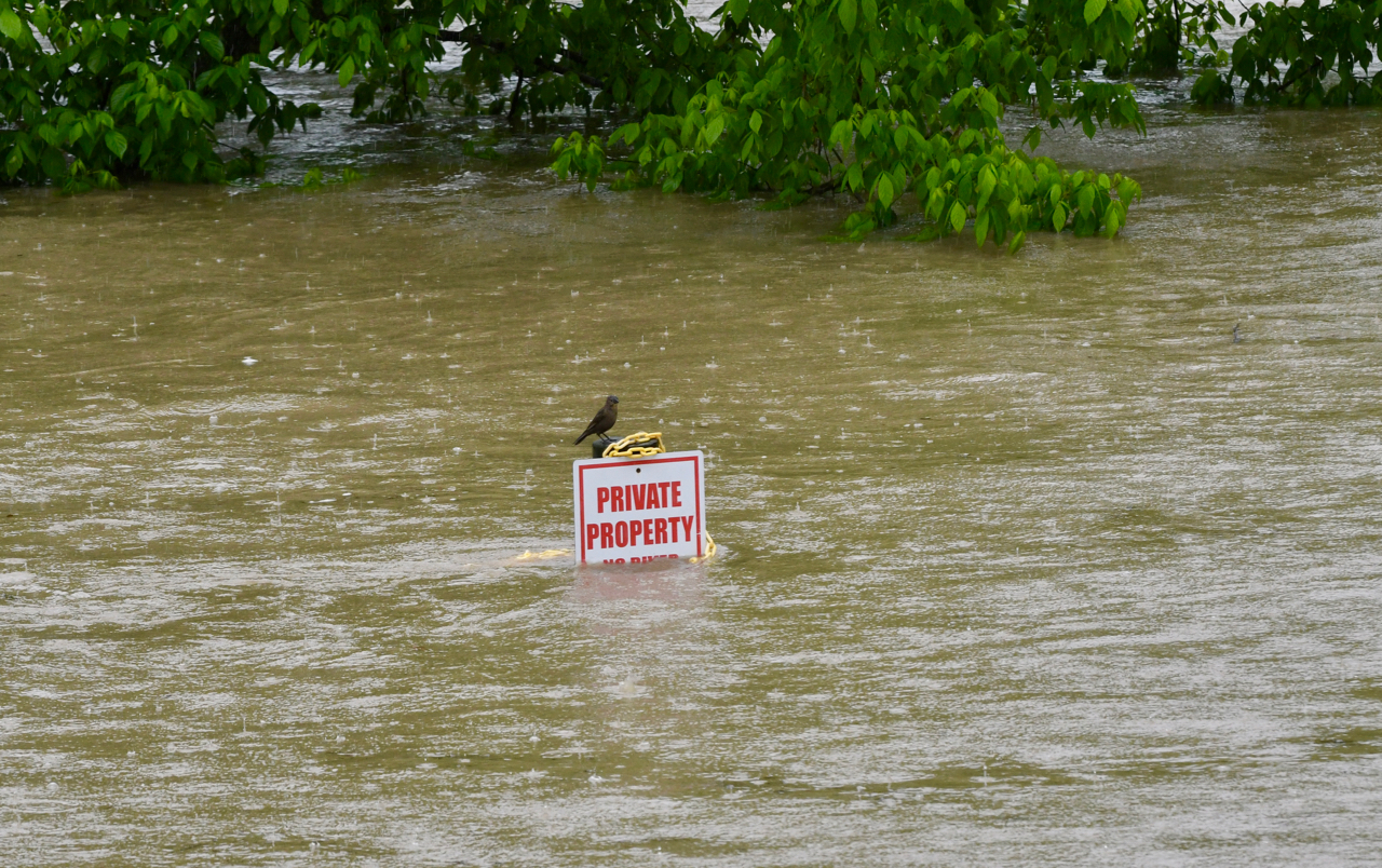
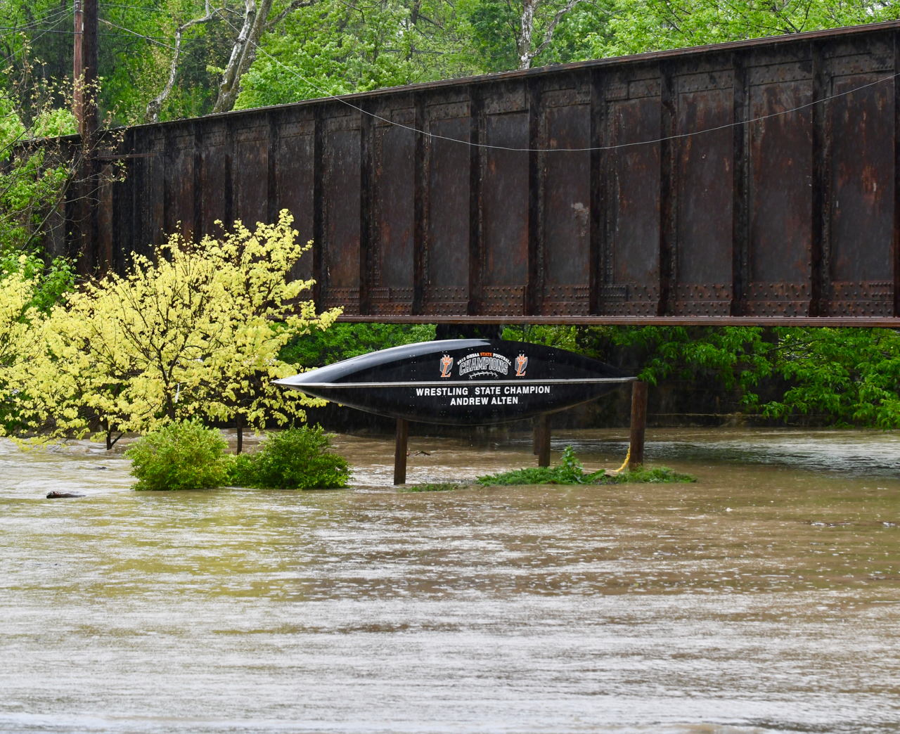
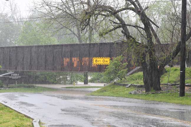
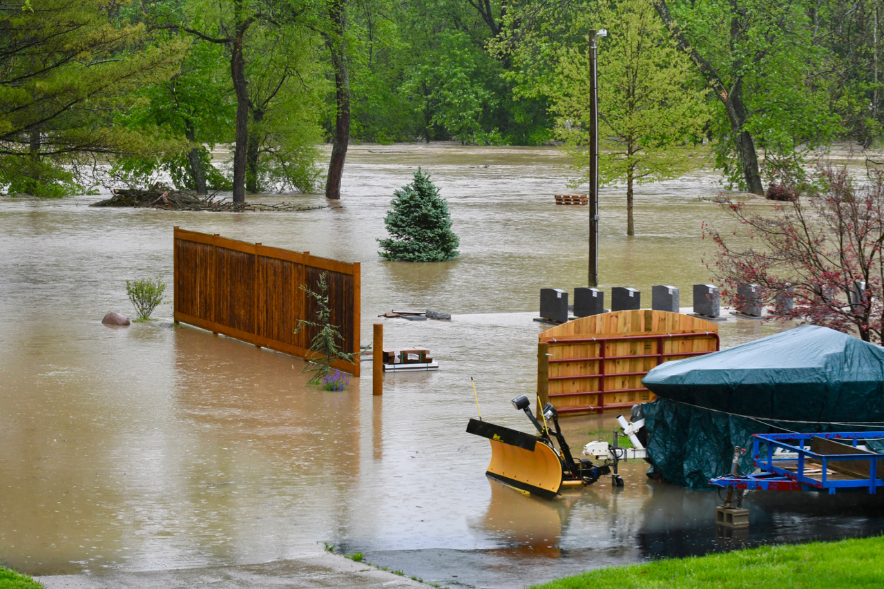
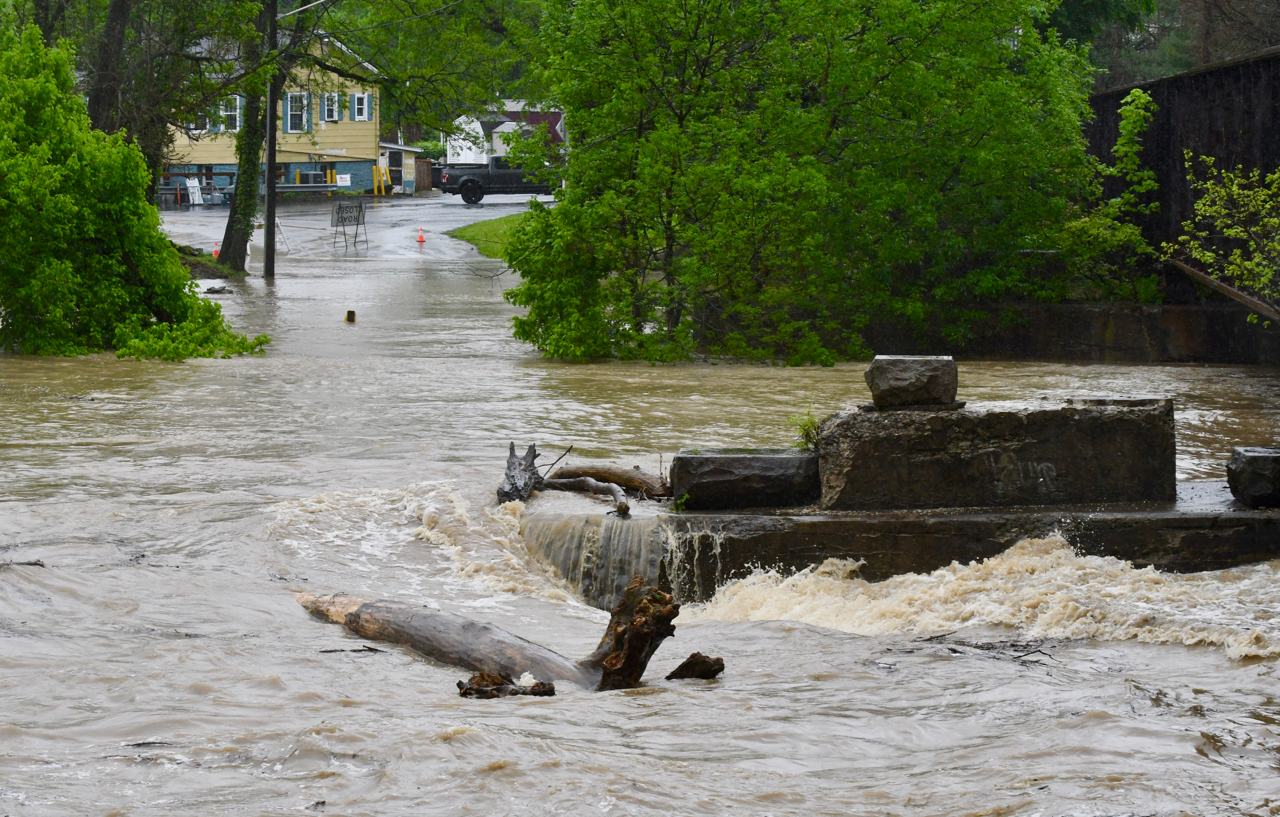
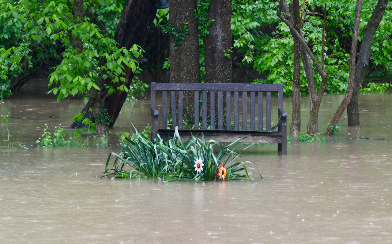
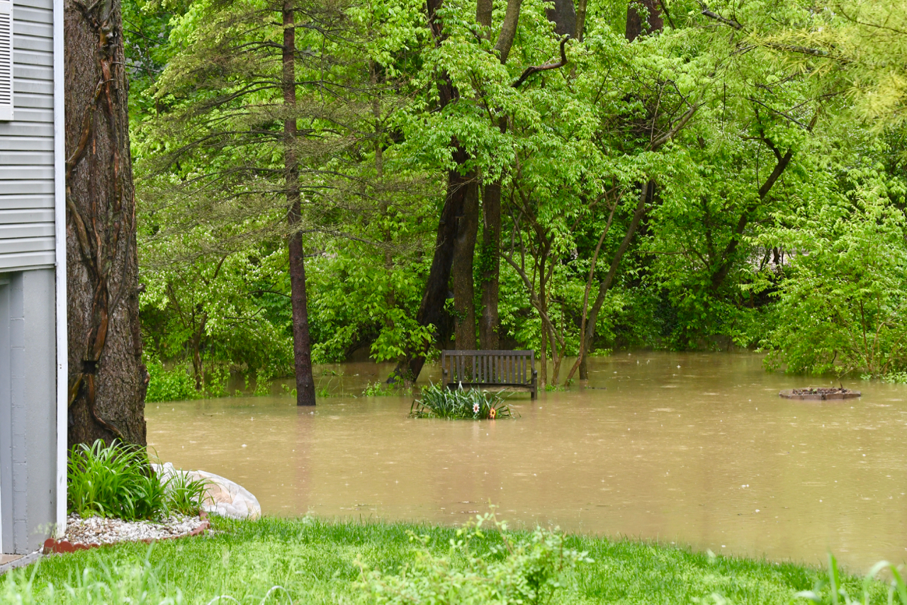
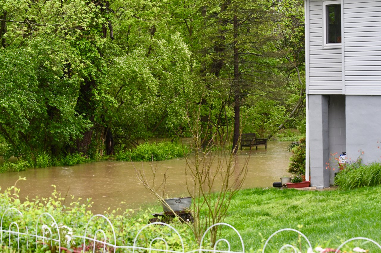
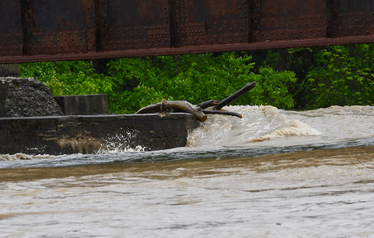
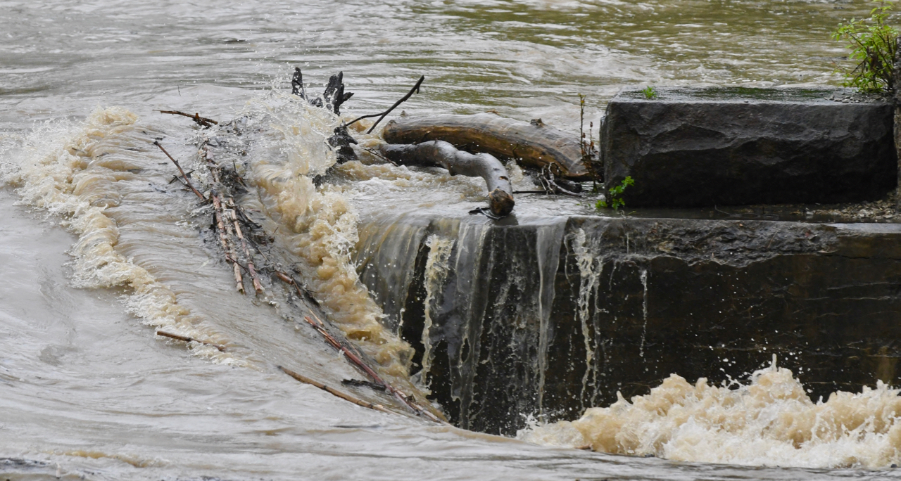
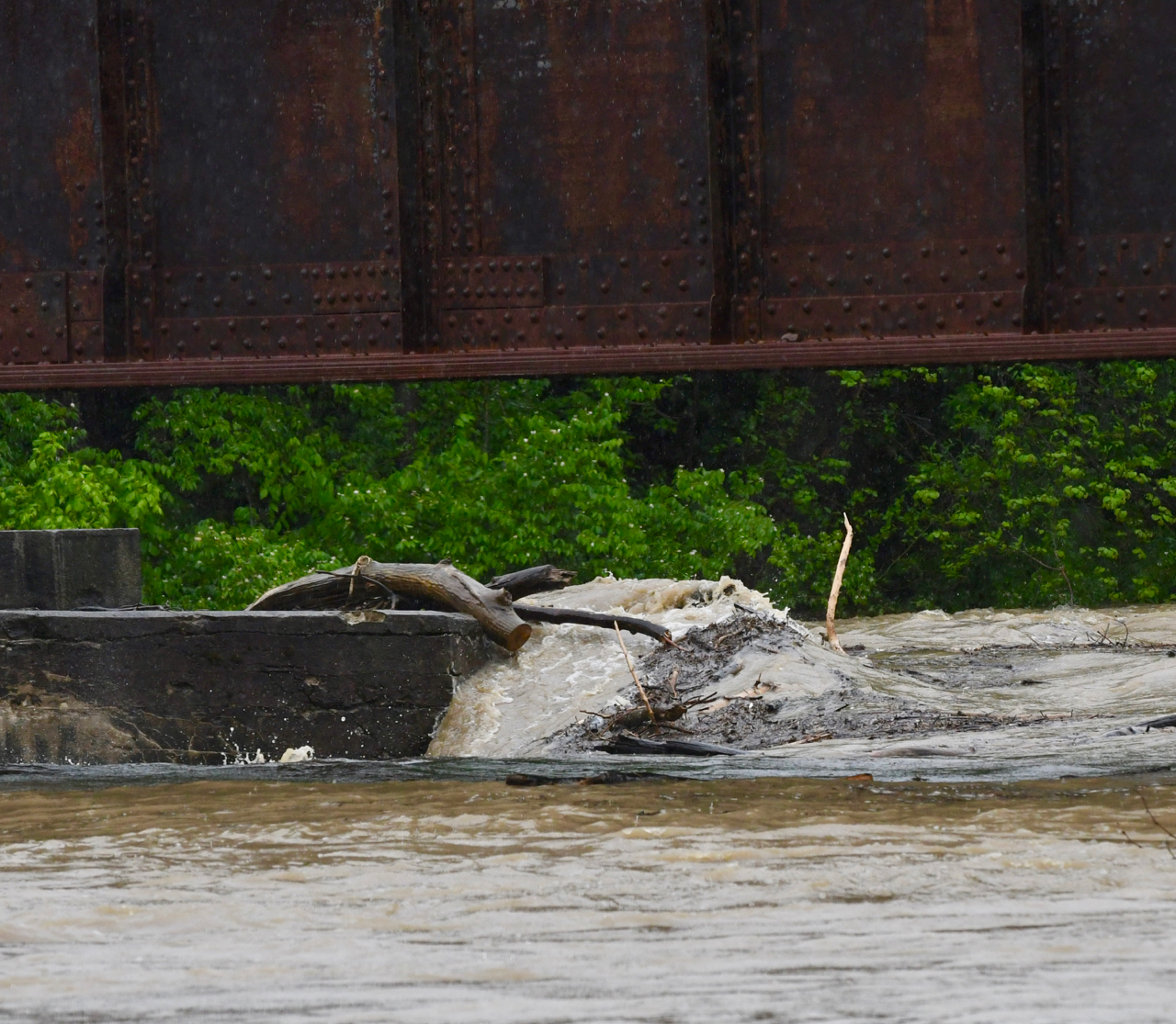
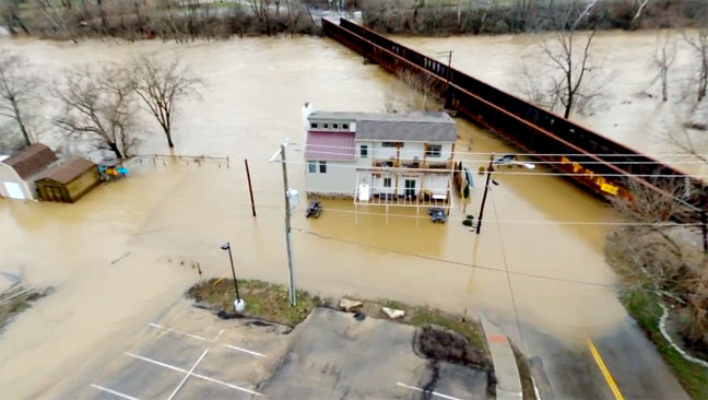
The development shares 540 feet of frontage along the Little Miami River at 128 North Riverside Drive in the West Loveland Historic District. The site will be elevated by bringing in earth to bring it above flooding elevation.
Rourke works for the Ohio Department of Natural Resources.
The proposed Special Planning District would be located at 128 North Riverside Drive and includes twelve (12) single-family detached dwelling units (24’ x 56’ 3-Story Homes) with minimum lot size of 0.114 acres or 4,966 sq. ft. The owner is Schildmeyer Holdings. The 12 proposed homes would be across Riverside Drive from the Loveland Museum Center and the Tufts Schildmeyer Family Funeral Home.
____________
____________
[pdf-embedder url=”https://lovelandmagazine.com/wp-content/uploads/2024/11/2024-11-07-Planning-Zoning-Commission-Full-Agenda-1876.pdf” title=”2024-11-07 Planning & Zoning Commission – Full Agenda-1876″]
![[Photos] Higher-Ground needed today in Loveland](https://lovelandmagazine.com/wp-content/uploads/2020/05/feature-higher-ground.jpg)


![[Photo Album] Minor flooding closes Cones Road, East Kemper Road, and Karl Brown/East Broadway](https://lovelandmagazine.com/wp-content/uploads/2018/02/Loveland-Flooding-2-25-2018-18.jpg)