
by David Miller
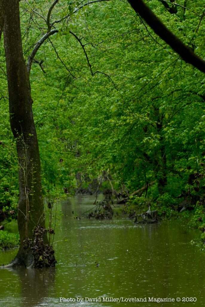
Loveland, Ohio– I’ve always called it the South Island because just north of Nisbet Park there is a similar island I call the North Island. During dry spells, you can walk across dry creek beds formed by erosion to get onto the islands, but during higher river levels the water channels merge into one wider, Little Miami River.
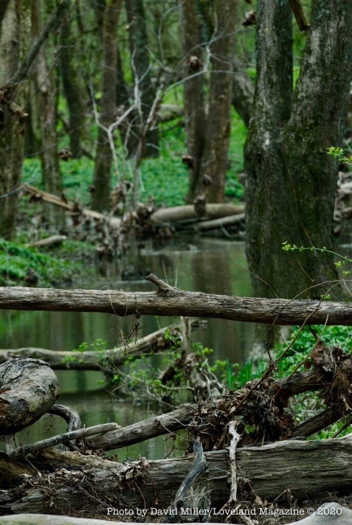
Both channels of water may someday form into permanent and complete oxbow ponds, but for now, they only occasionally do.

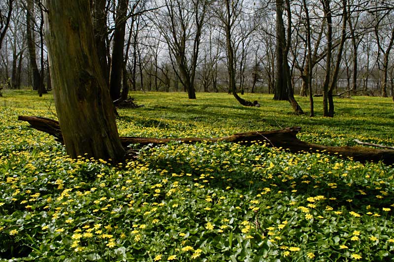
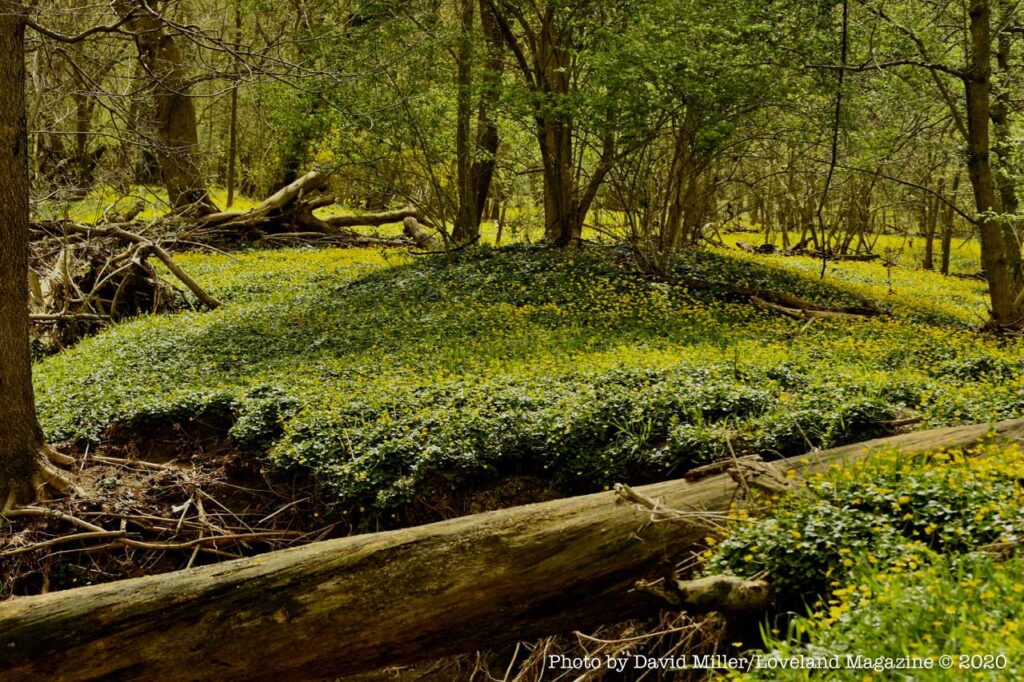
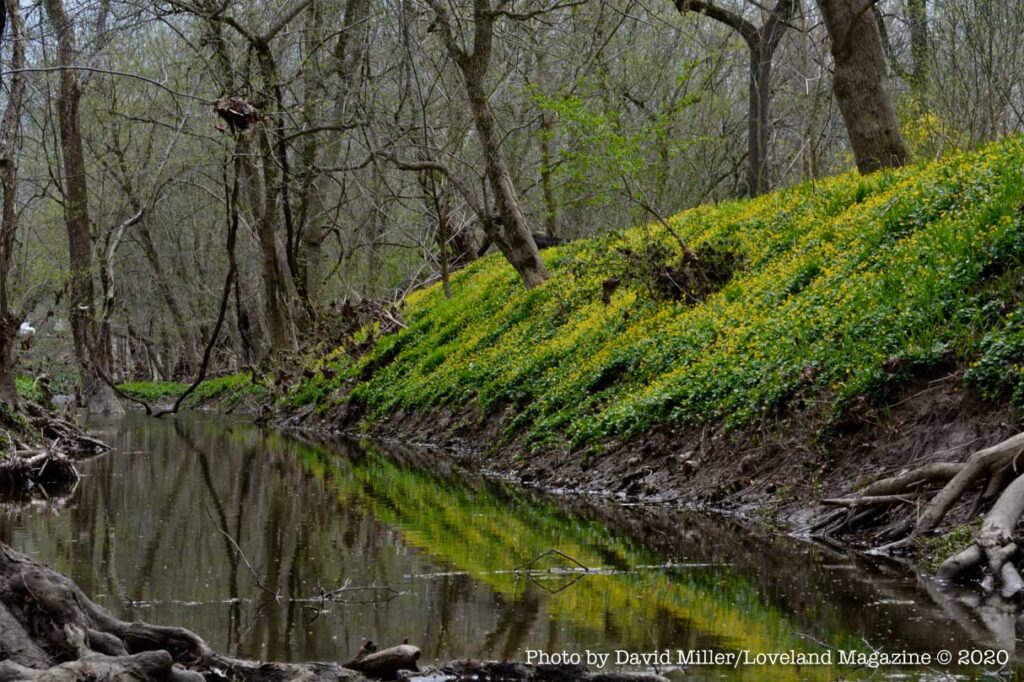
Both islands are one of nature’s ways to prevent downstream and localized flooding. Because of their unique soil composition, they can absorb rainfall from the hills high above and hold water when the Little Miami rises. River floodplains are low, flat areas that periodically flood, collecting water that would otherwise rush downstream, threatening people and property. They temper the river flow.
According to American Rivers: “A single acre of wetland, saturated to a depth of one foot, will retain 330,000 gallons of water – enough to flood thirteen average-sized homes thigh-deep. Wetlands also help provide clean rivers and drinking water by naturally filtering out run-off pollution.”

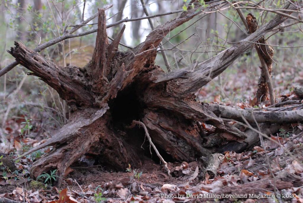
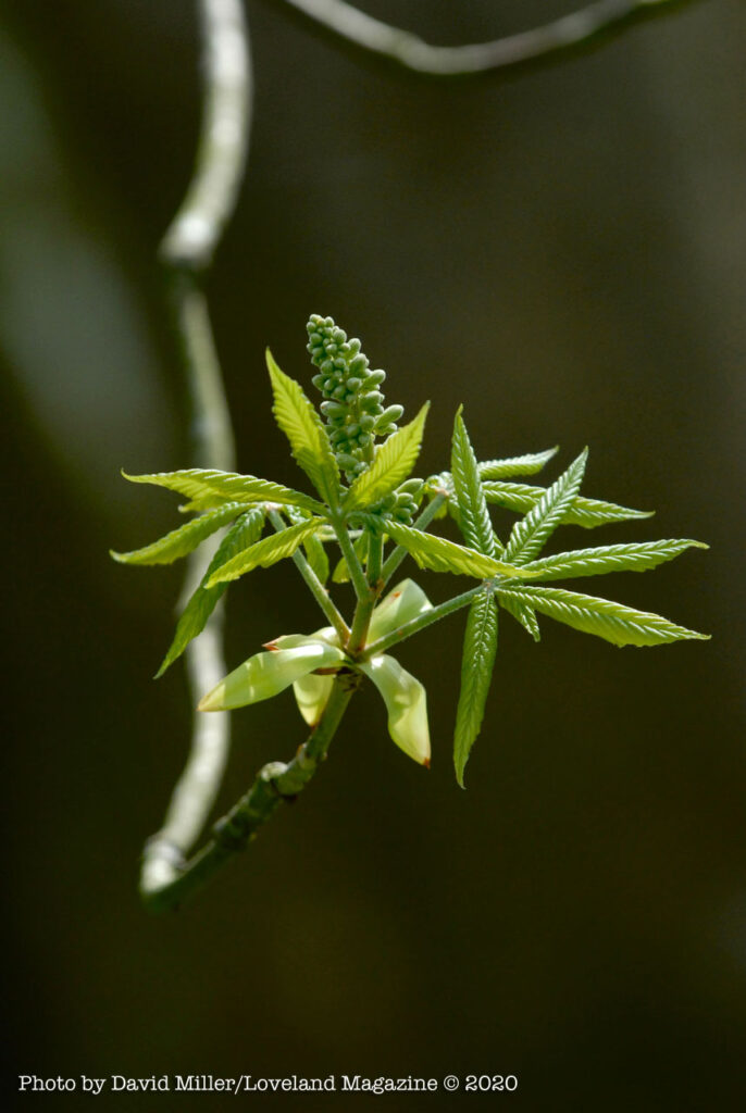
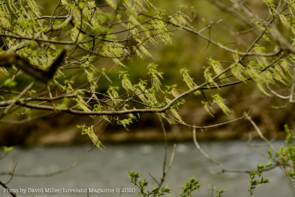
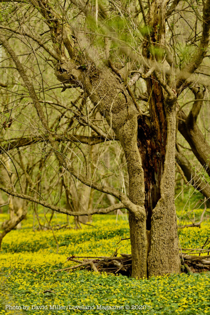
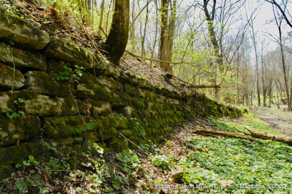
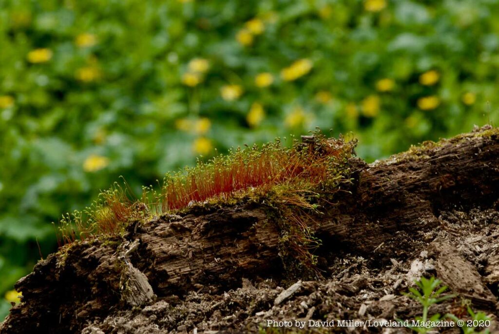
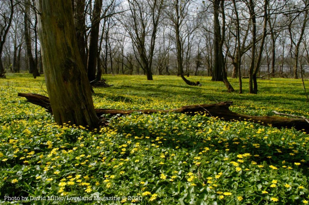
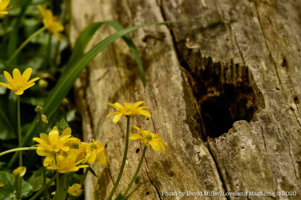
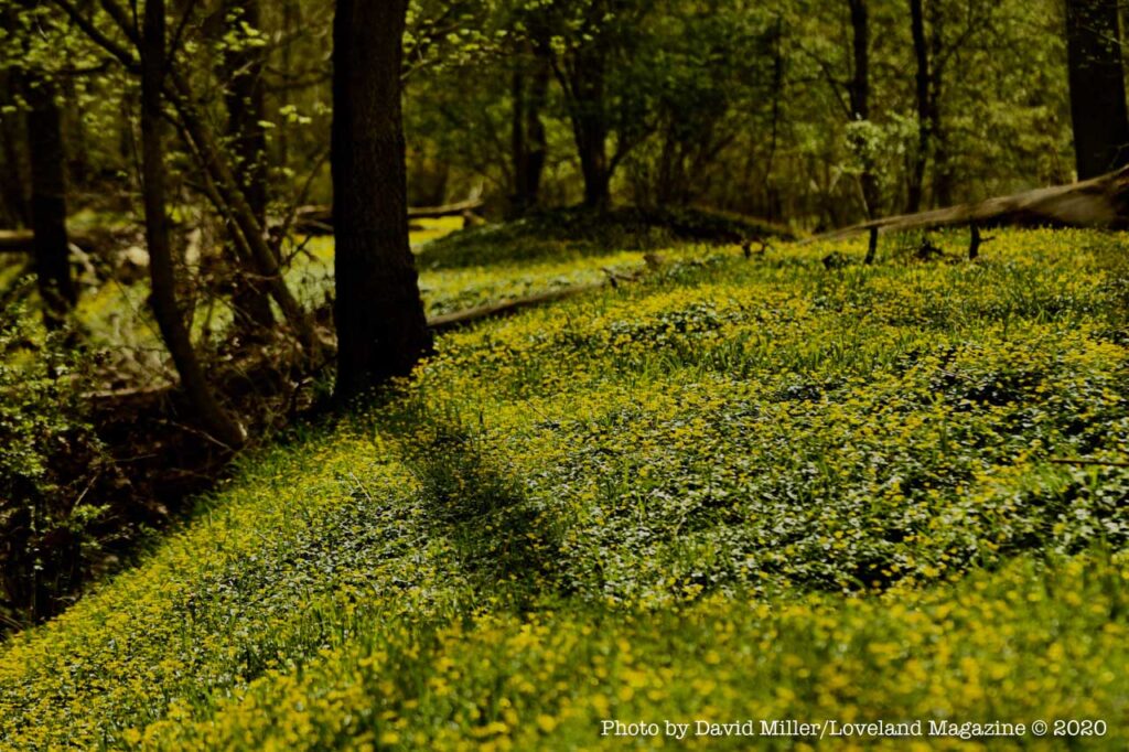
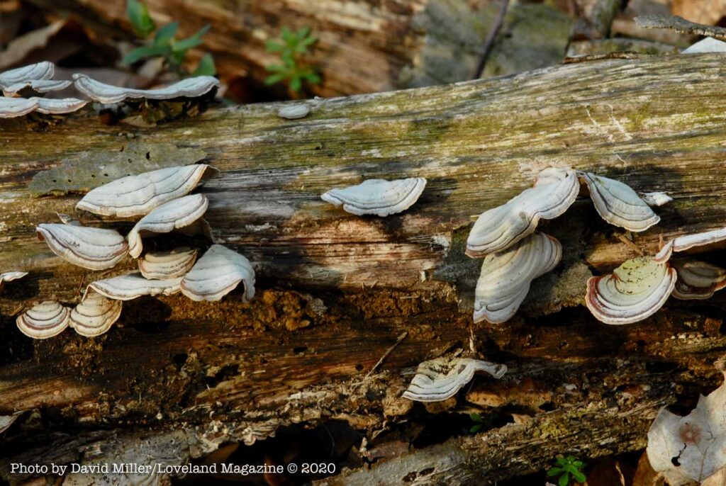
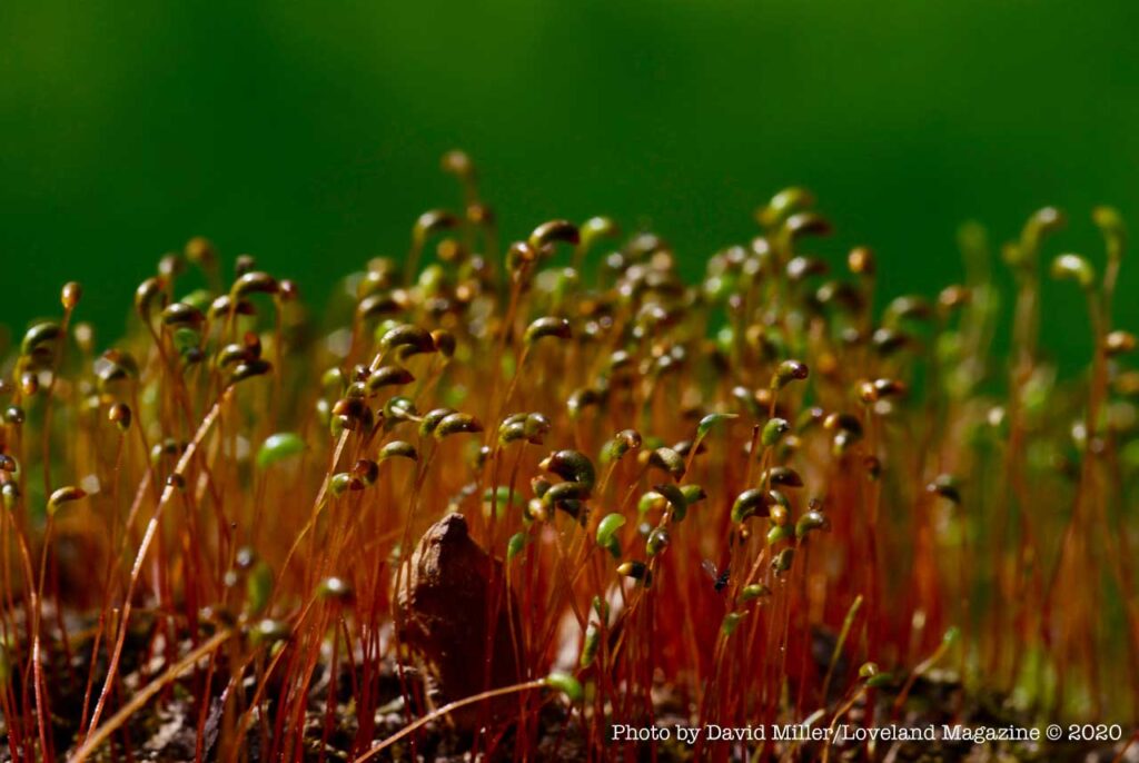
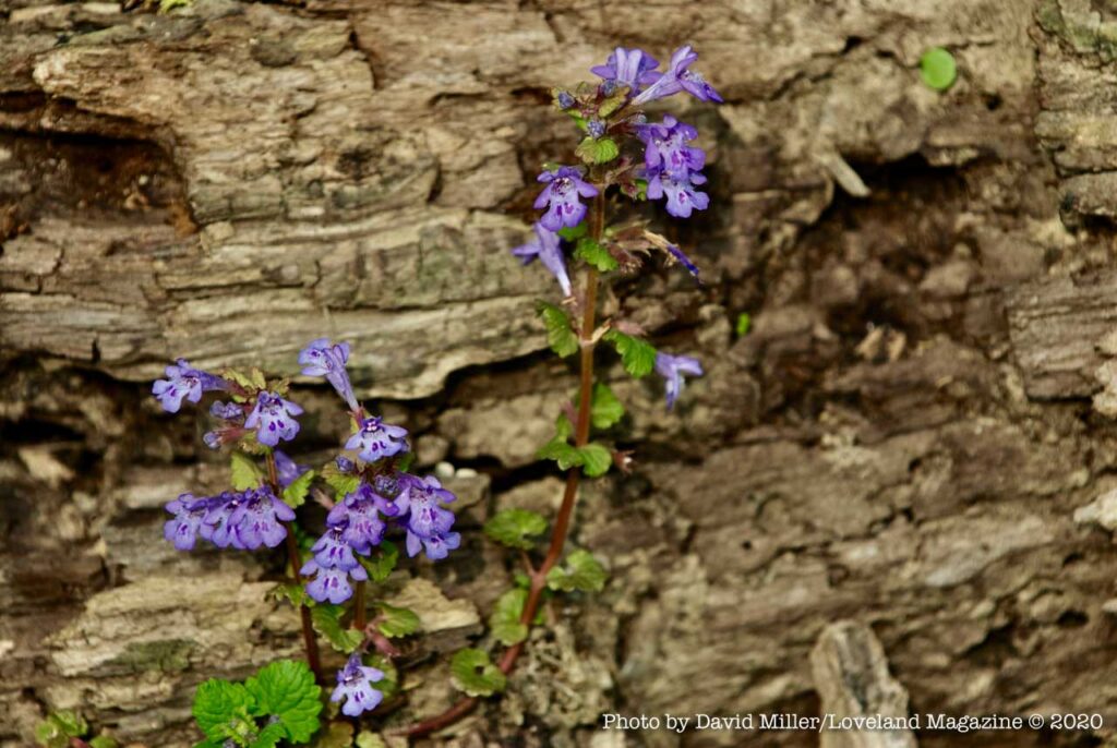
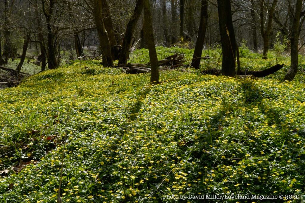
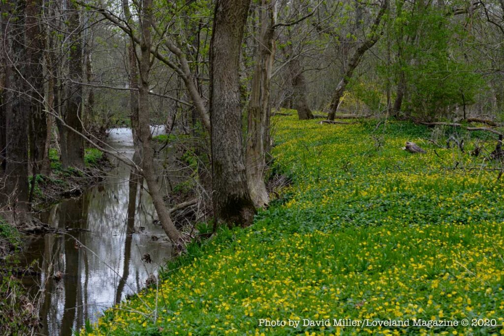
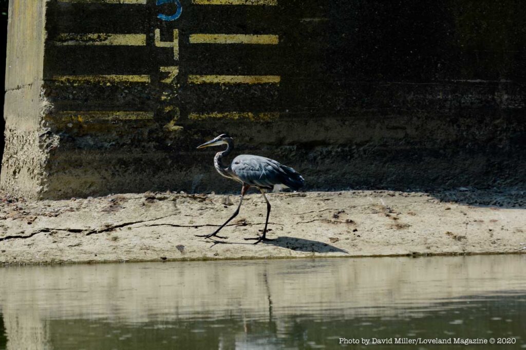
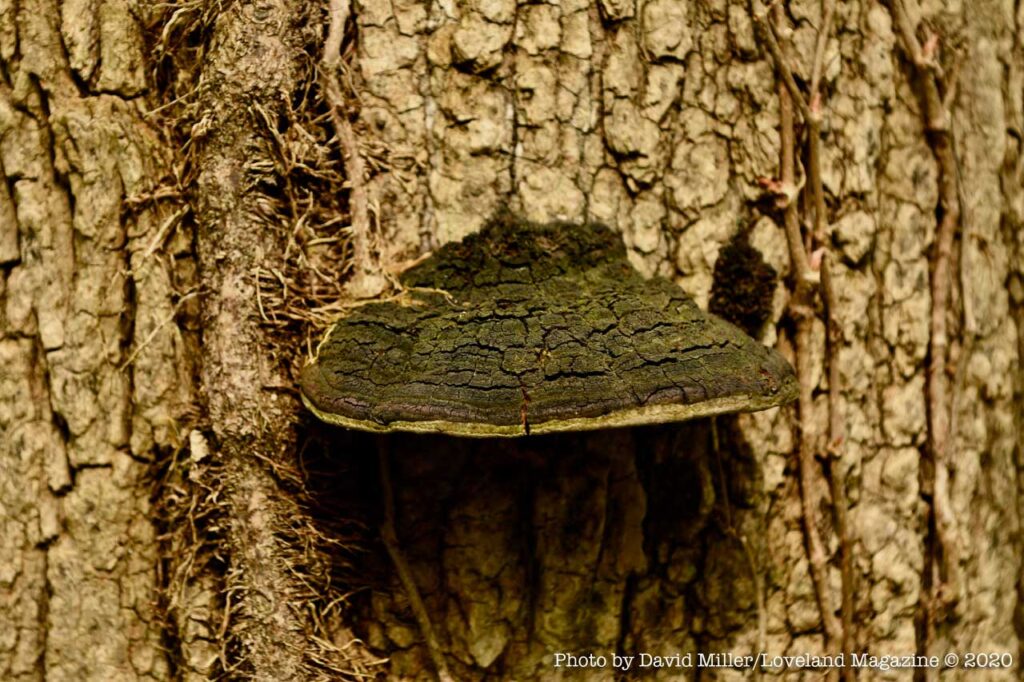
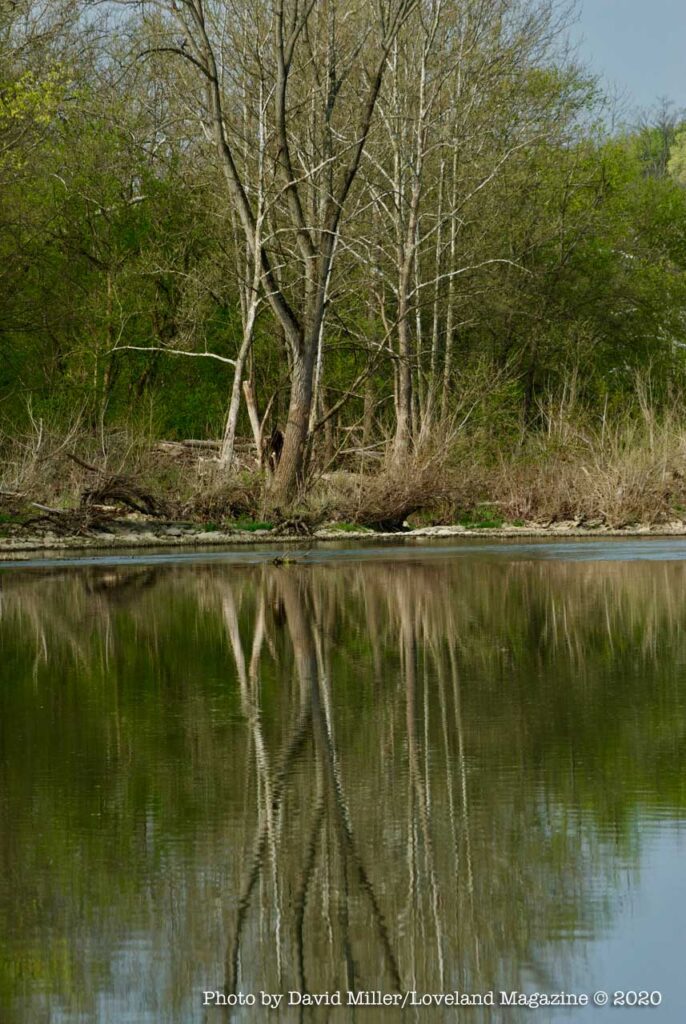
The topography of the approximately 12 acres South Island benefits from both the erosion caused by the flow of the Little Miami and the deposits of silt left during flooding. It’s an ever-changing physical environment, but the flora and fauna remain pretty consistent. The emerging spring-time growth and the natural decay of the ancient tree trunks, including those trees that fall prey to the eroding effects of spring rains and fast river current are the seasonal changes you will notice.
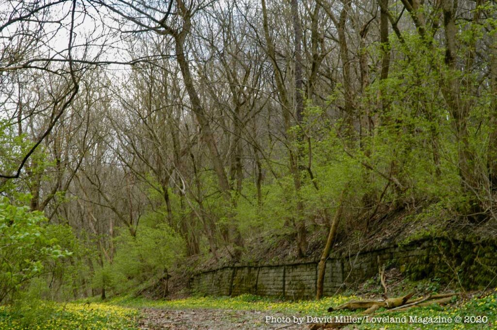
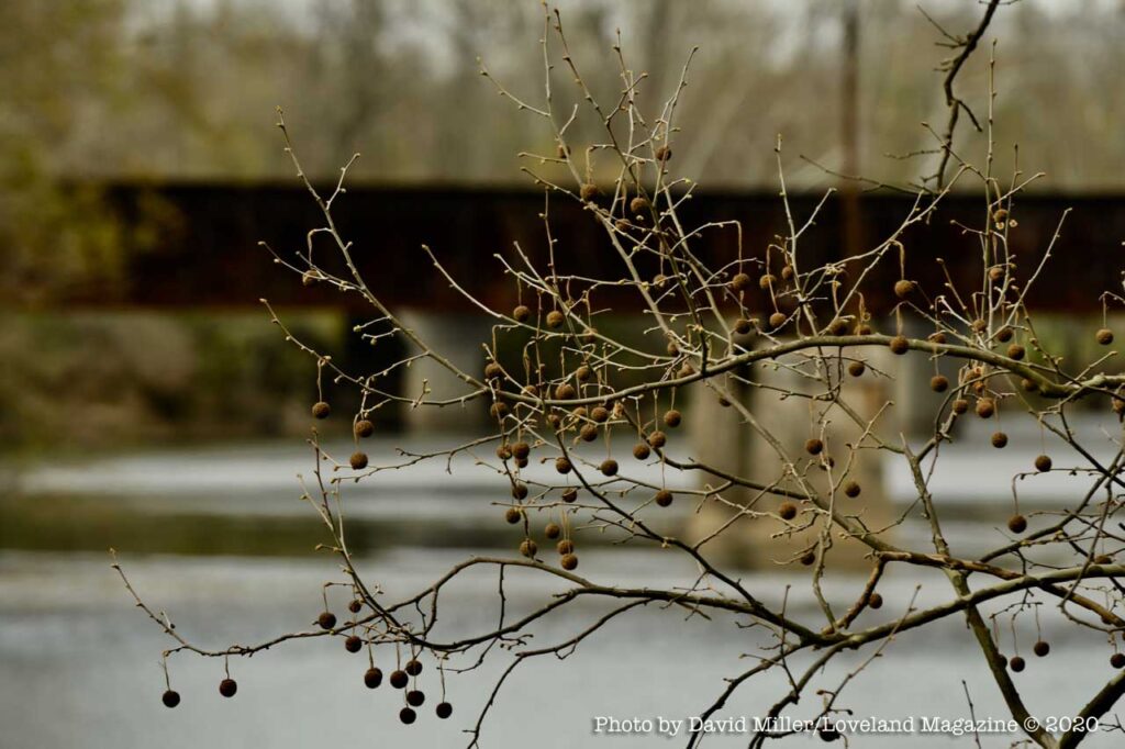
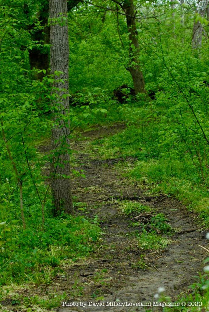
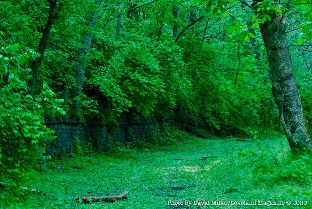
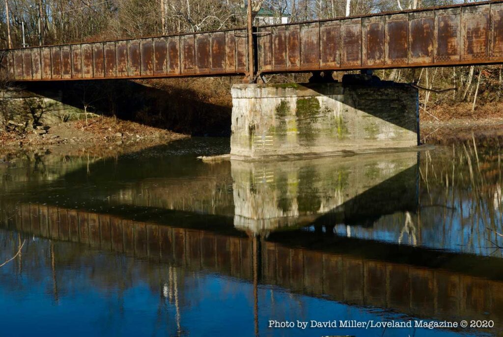
 The South Island is the City of Loveland owned property just south of the Linda Cox Parking lot on Broadway in Historic Downtown. When you enter the lot, head to the last parking spaces and walk south between the Loveland Bike Trail and the Little Miami River. The path you begin on is the abandoned section of Lower River Road. You will be walking towards Branch Hill.
This is a remarkable spot in the City and perfect for solitary exploring, dog walking, or picnicking with friends or family. Use caution and good judgment during periods of rain or storms and waterproof boots are recommended although occasionally you will find that some fellow explorer has placed convenient river stones to keep you dry and less muddy.
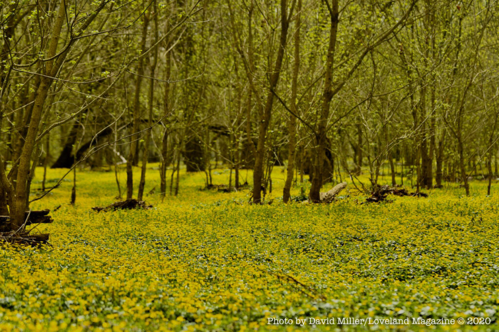
You will enjoy the large lawn-like open spaces, however, it is not a place for throwing a ball or frisbee – beware of the hidden groundhog holes.
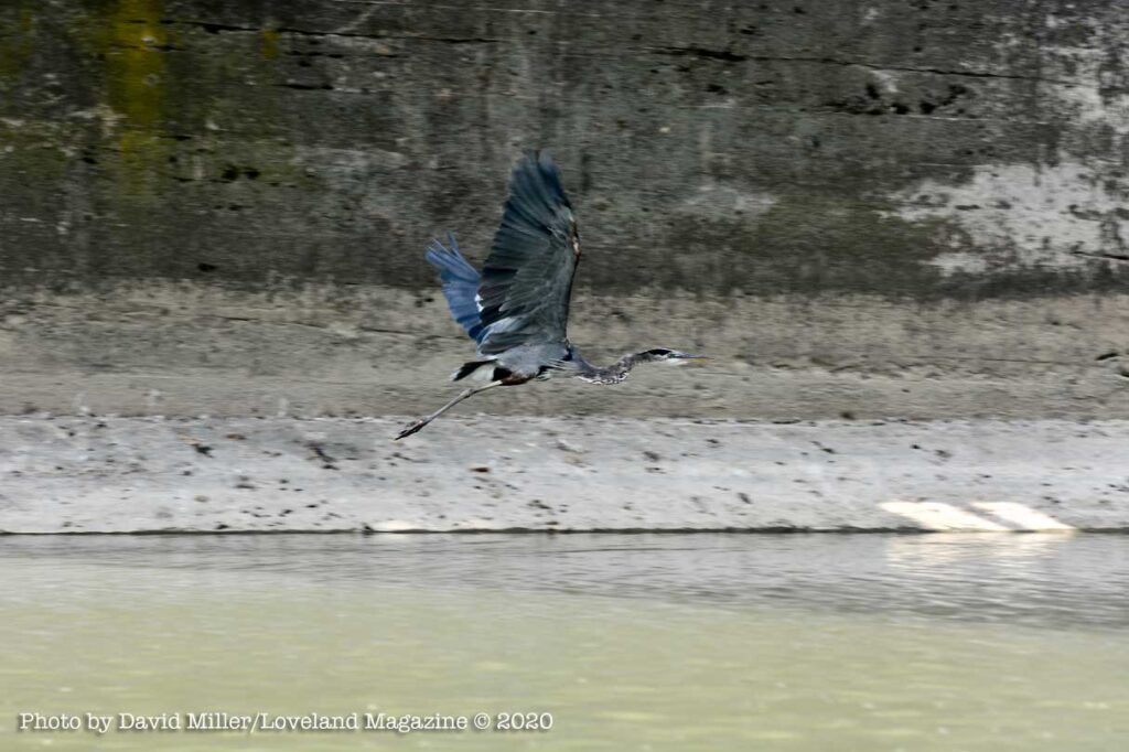
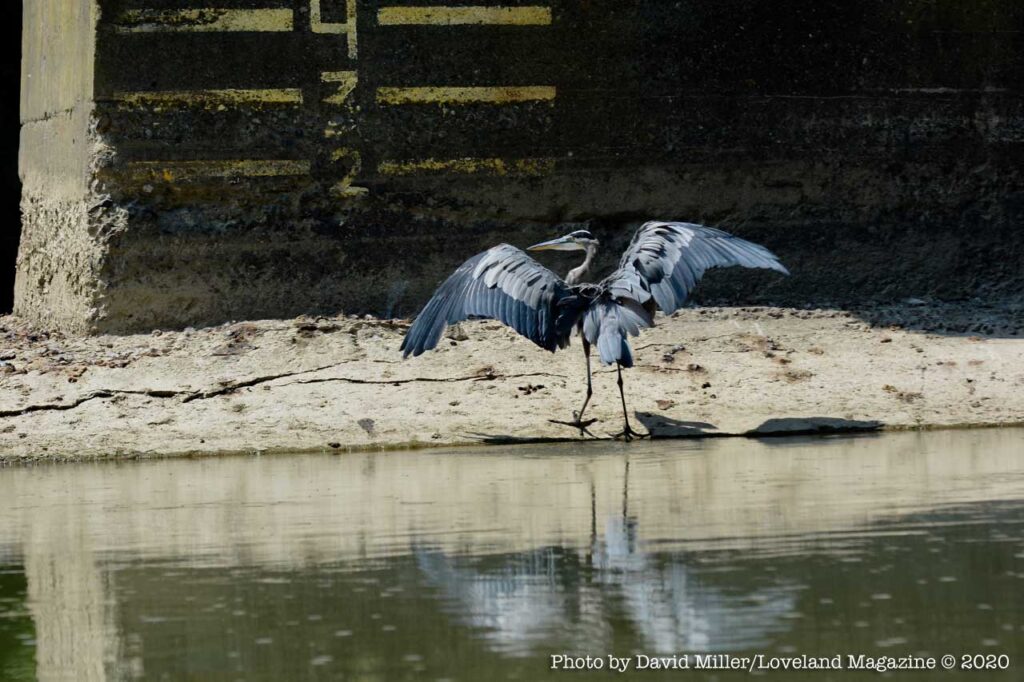
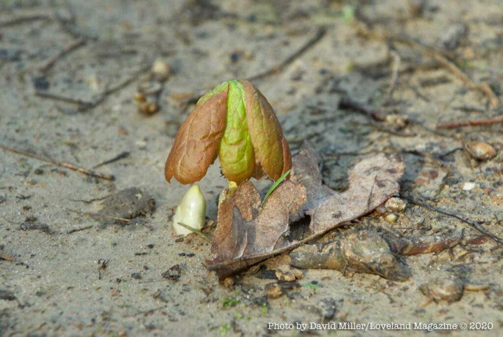
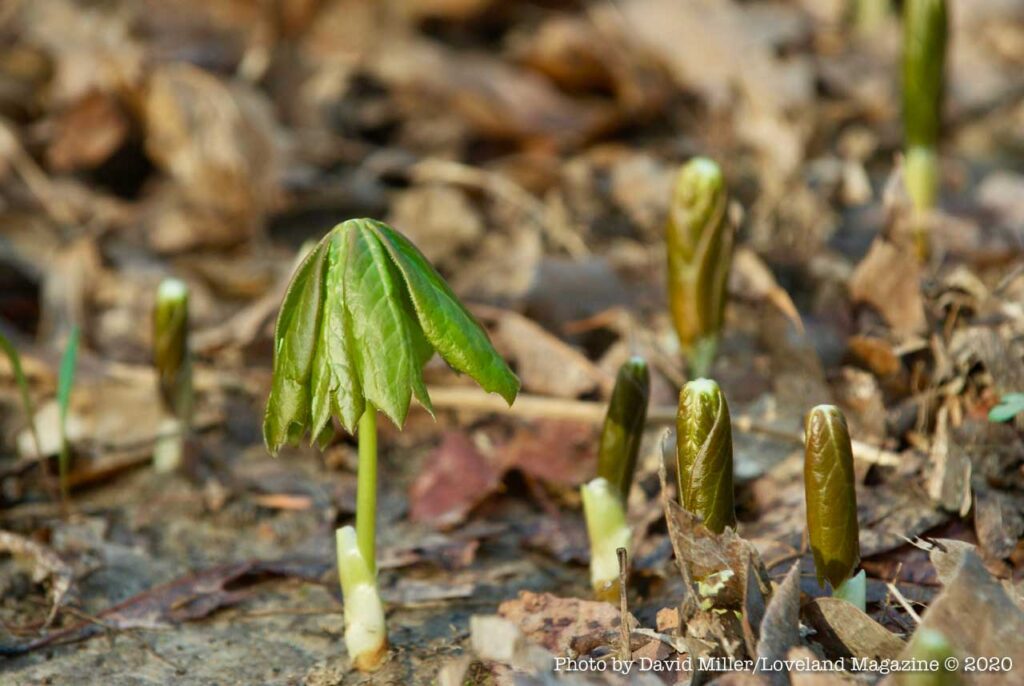
These photos have been taken over the past 14 years. Most of them in the springtime.
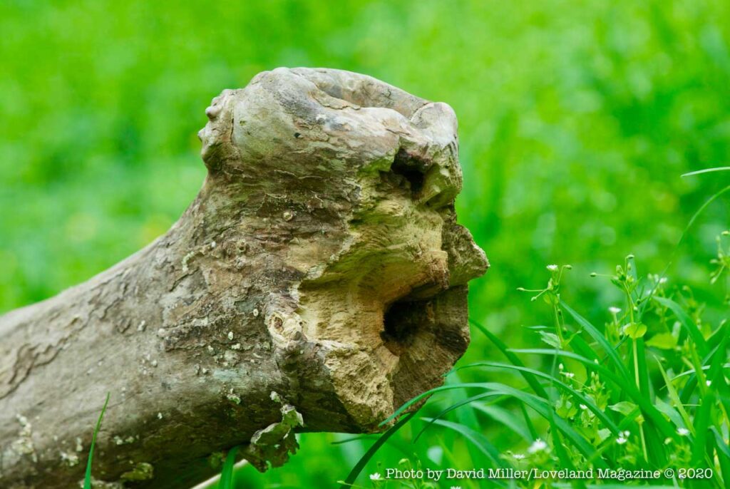
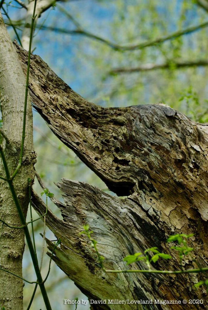
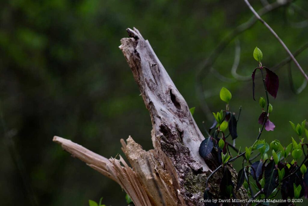
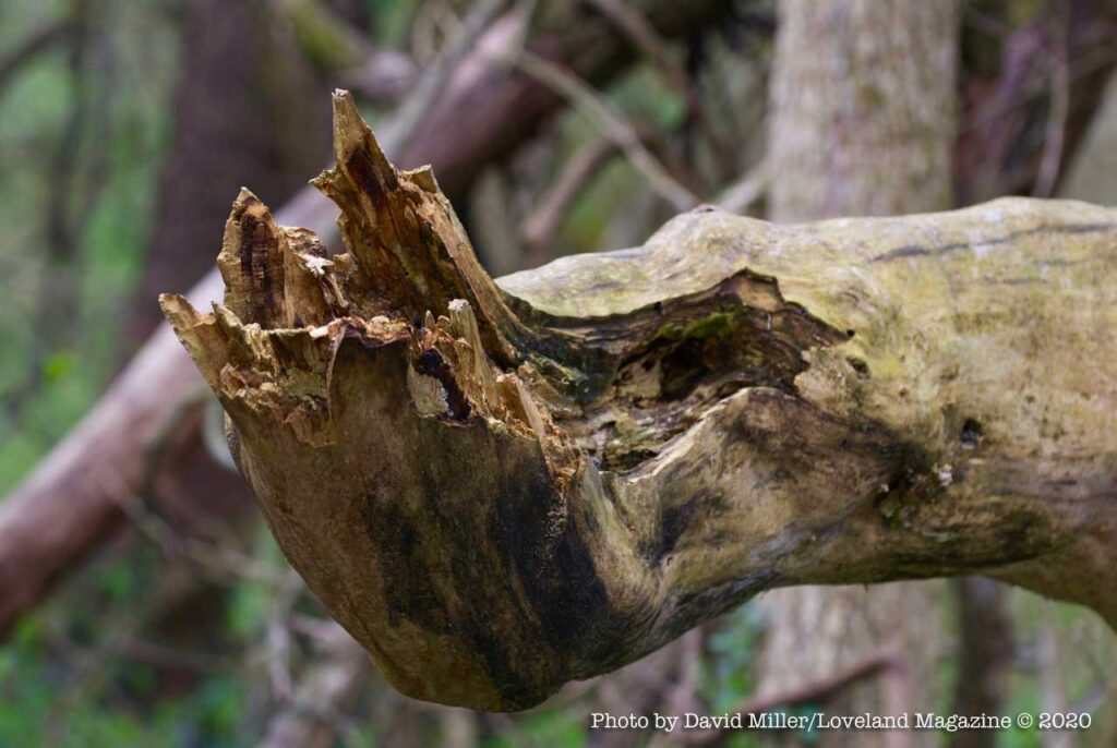
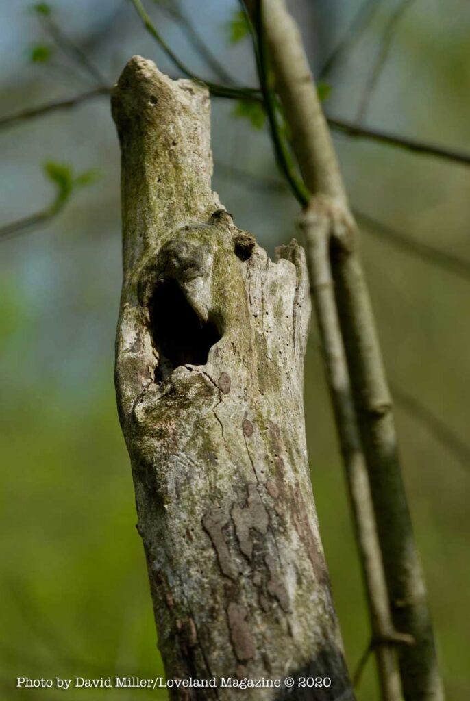
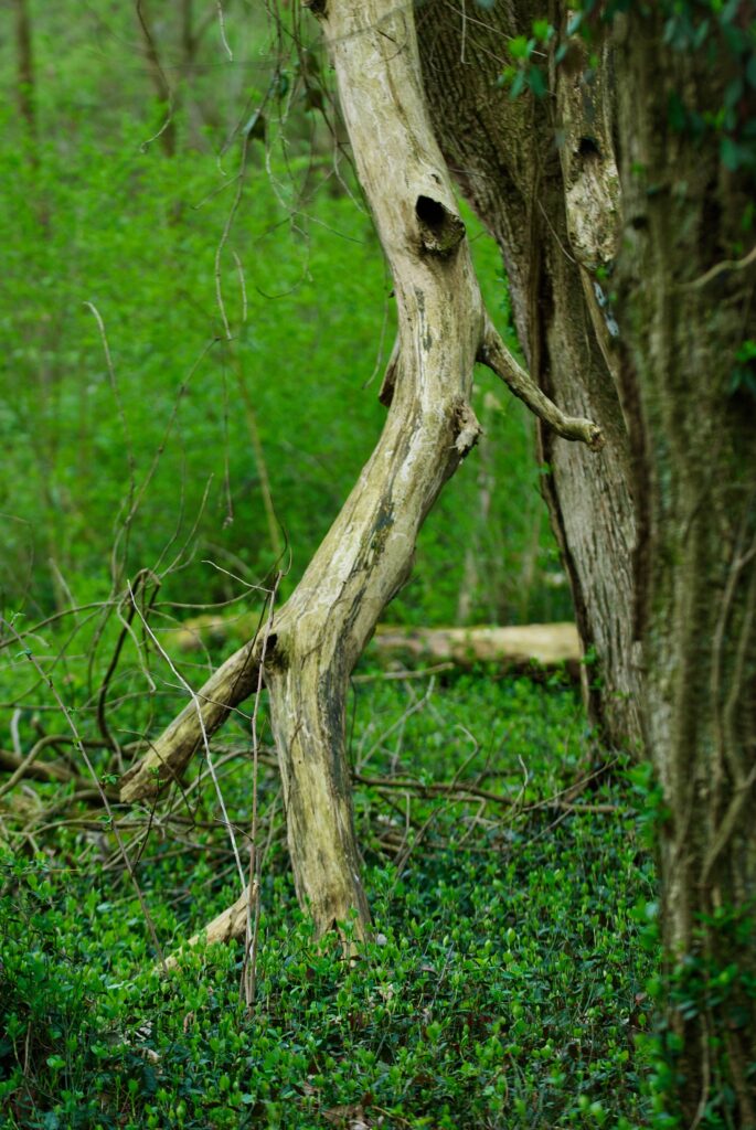
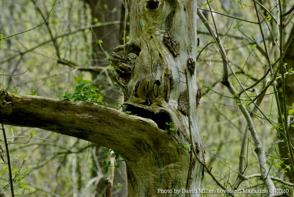
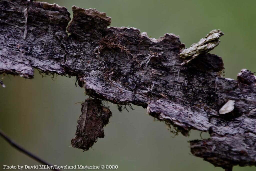
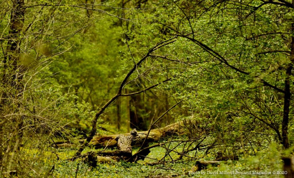
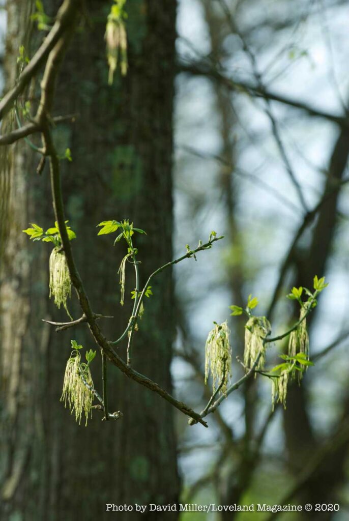
Perhaps because of the insane beauty of the South Islands, I always called the second set of mages below “Spring Rorschach Photos” because one day on one of my many treks I started noticing what I imagined stick-like animal figures entering my camera lens. A “wide-opened” telephoto lens that blurs the background can help you discover things you will not ordinarily notice. You have to look for eyeballs.
Some psychologists used to use the Rorschach Test to examine a person’s personality characteristics and emotional functioning. It was employed to detect underlying thought disorder, especially in cases where patients are reluctant to describe their thinking processes openly.* So there you go… I confess.
Feeling a little insane right now? This insane beauty might be your balm.
Another place to visit in our resort-like town is the Simpson Farm
Parents and children should explore Loveland’s Simpson Farm


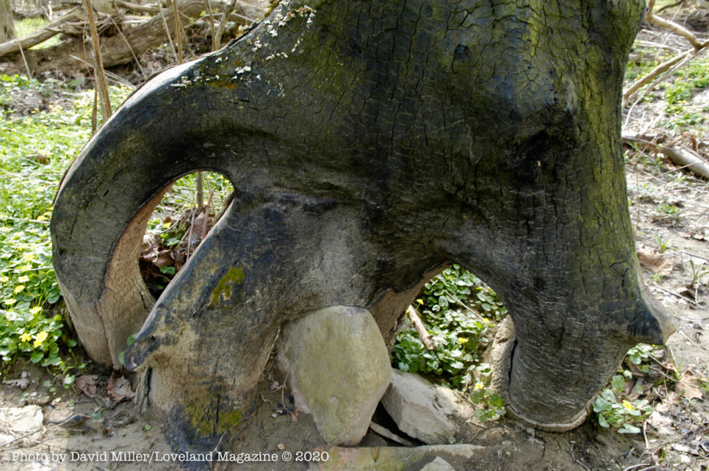
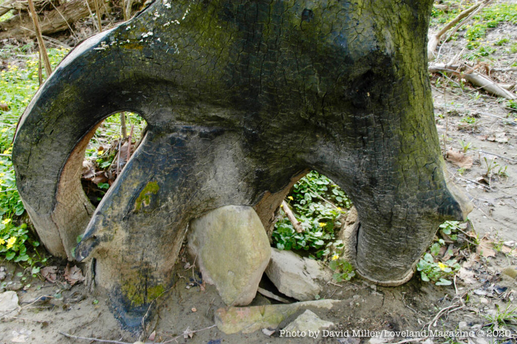


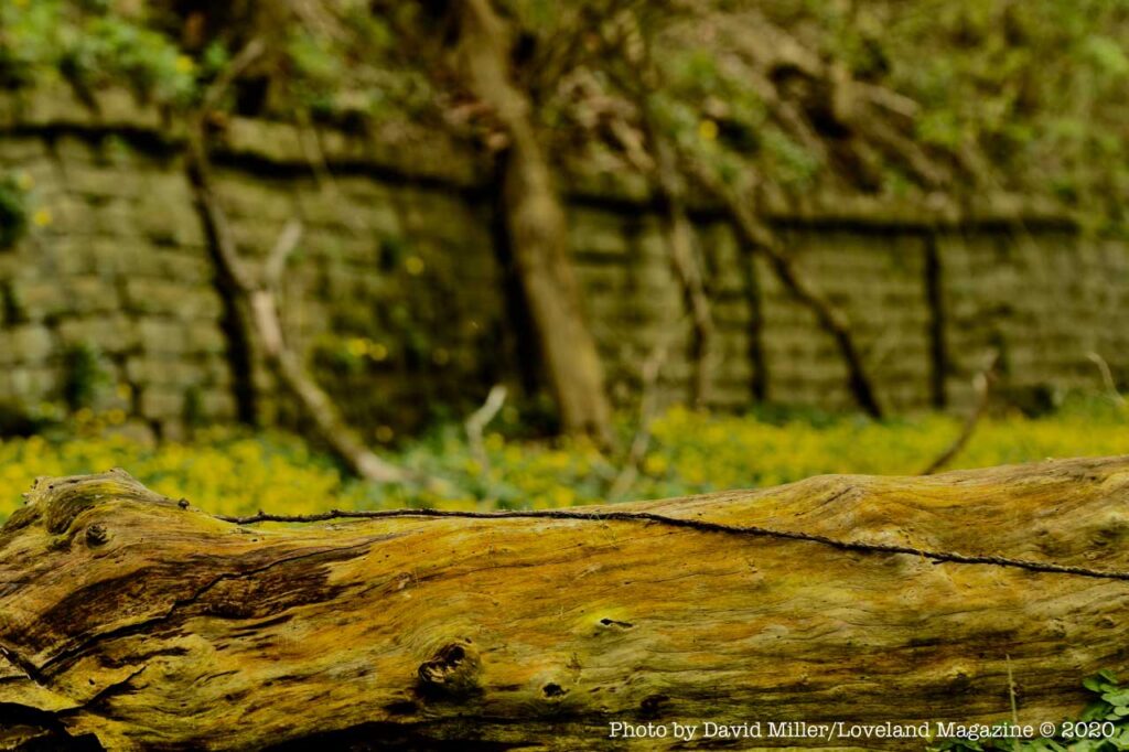


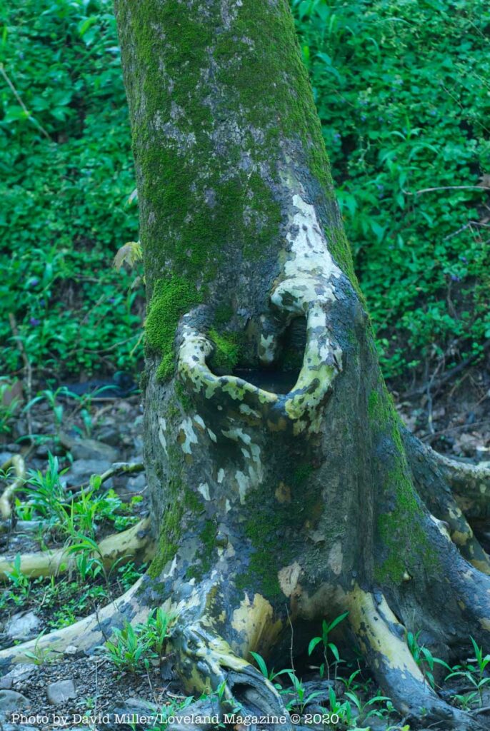
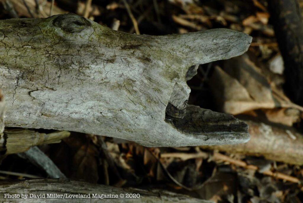


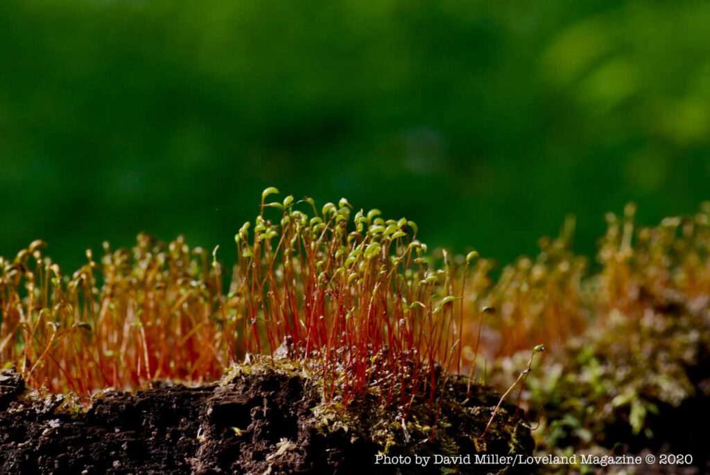

“Spring Rorschach Photos”
Feeling a little insane right now? This insane beauty might be your balm.